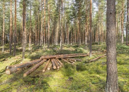
AFRY Smart Forestry TreeMaps
Remote sensing-based inventory process for precision forestry
AFRY Smart Forestry TreeMaps is the key for a forest manager to process remote sensing data, spaceborne or airborne, into detailed forest inventory information.
Better forest resource management with precise inventory information and digital forestry
As drones or aircraft might sometimes be too local a solution, our software is capable of utilising openly available spaceborne sensor data, which allows inventorying vast forest areas effectively.
Additionally, you can utilise either existing data or newly inventoried data in your carbon mapping projects, which facilitates presenting and marketing carbon credits of individual trees as natural climate solutions.
Read more:
Remote sensing inventory for precision forestry
Digital twins of forests minimise the need for manual field measurements
Forest digital twin and inventory data from TreeMaps support you in, for example:
- Making better and more sustainable forest management decisions with more accurate forest inventory data
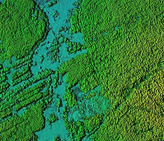
- Effectively acquiring information about individual tree attributes. These include tree species, tree height, tree growth, tree mortality, and other tree data about the physical and physiological processes taking place on the level of individual trees
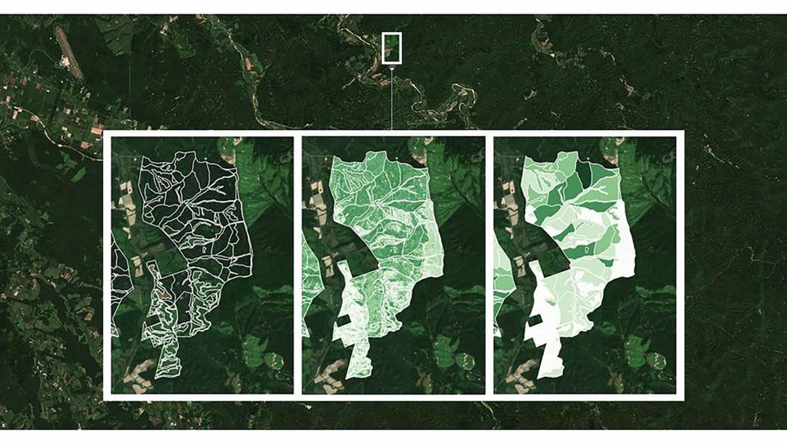
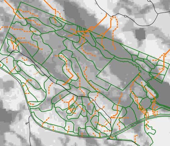
- Delineating forest management units from individually detected trees and improving the precision of forest management planning, such as harvest planning
- Forest growth modelling can be improved with time series of very accurate tree height measurements
- Frequent and precise forest resource monitoring
- Integrating the inventory process into your day-to-day work and forest management activities through your forest management information system
BEST ACCURACY FOR YOUR NEEDS
Inventory accuracy impacts the whole forest supply chain
Poor inventory data leads to inaccurate wood procurement decisions. TreeMaps measures a forest's complete species and assortment distribution, leading to better decisions in wood supply planning.
Automated delineation of forest management units ensures accurate and objective descriptions of productive forest areas. It also enables optimising management activities at a detailed level and bringing increased clarity to your forest structure.
COST SAVINGS
More frequent resource monitoring with low investment
The cost of remote sensing is decreasing while the quality of the results is increasing. AFRY Smart Forestry TreeMaps captures the full variation of forest stands without high-intensity and expensive field campaigns, creating forest digital twins in the process.
The availability of spaceborne remote sensing data is increasing exponentially, allowing frequent monitoring of any forest area globally.
The introduction of drones to forest inventories has made it possible to collect high-resolution images or LiDAR remote-sensing information gathered via airborne laser scanning at a cost that allows frequent intervals. Even terrestrial laser scanning information can be applied for very detailed analysis.
EFFICIENCY IN FOREST MANAGEMENT
Plan and execute accurate forest inventories within your day-to-day forest management information system
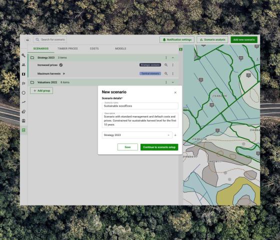
With the AFRY Smart Forestry software family, you are able to integrate a remote sensing-based forest inventory process into your day-to-day forest data management.
With TreeMaps and our other Smart Forestry Platform solutions, you can concentrate all forest data work on one platform: editing spatial forest data, optimising short-term and long-term wood flows and running a remote sensing-based forest inventory from start to finish can all be done within one browser application.

AFRY Smart Forestry products for better decisions
However, our expertise in conducting cost-effective forest inventories and extensive experience in remote sensing-based forest inventory positions us as pioneers in delivering precise forest asset data to our clients.
Contact us to explore how TreeMaps can elevate your forest management capabilities!

Interested in our offering? Contact us!